
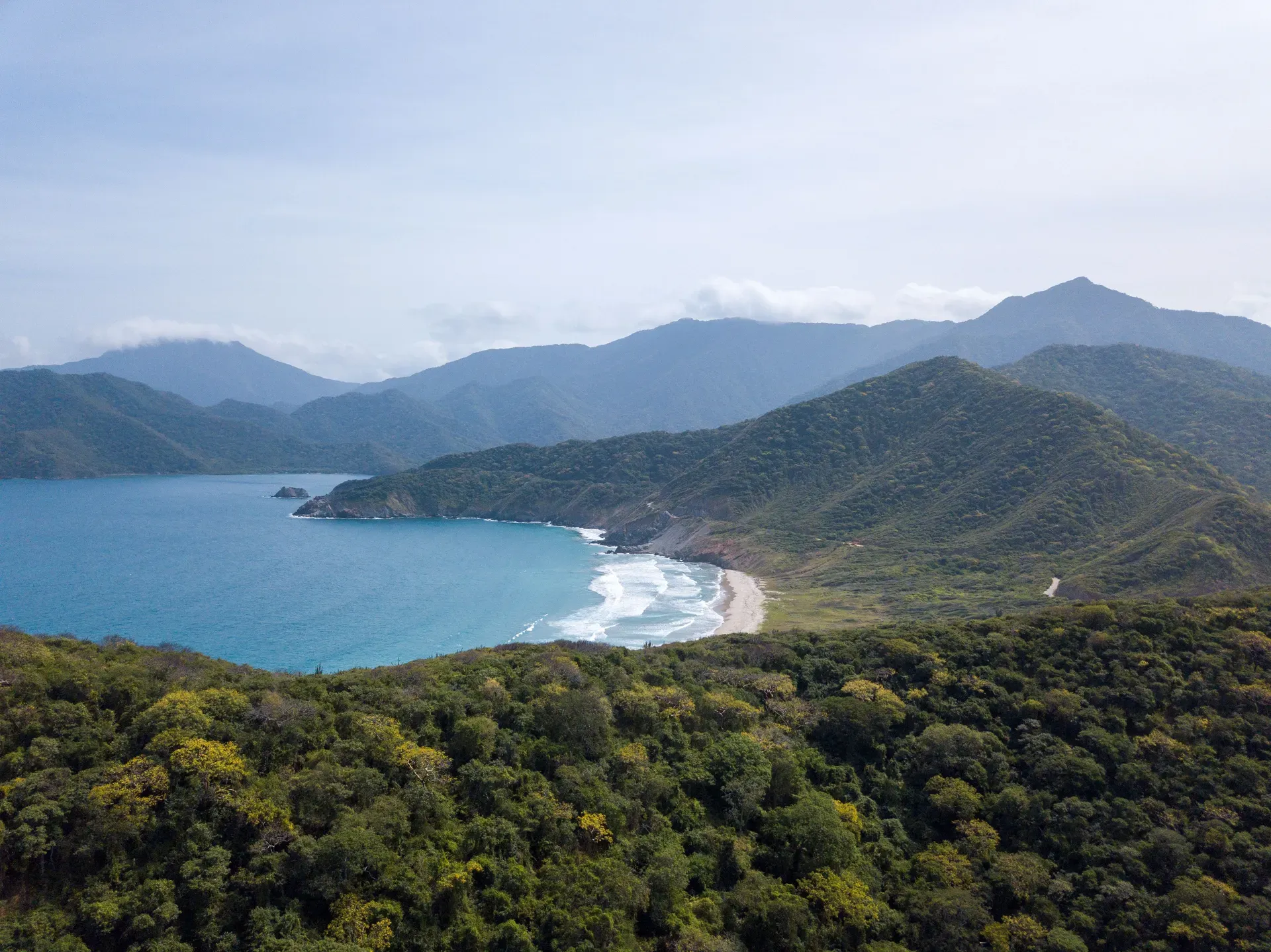
Tayrona National Park occupies 180 square kilometers of land and sea along Colombia's northern Caribbean coast. The protected area preserves endangered dry tropical forests, coral reefs, and over 250 ancient Tairona archaeological settlements.
Tayrona National Natural Park covers 150 square kilometers of land and 30 square kilometers of the Caribbean Sea in Colombia's Magdalena Department. The Sierra Nevada de Santa Marta mountain range crashes directly into the ocean here, creating a jagged coastline of deep bays and rocky peninsulas. Visitors walk through dense, humid jungle trails before emerging onto white-sand beaches flanked by massive rounded boulders. The park protects highly endangered dry tropical forests, mangrove swamps, cloud forests, and coral reefs.
Temperatures regularly exceed 30°C with near 100% humidity. Hikers sweat through their clothes within the first ten minutes on the trail. The primary route from the El Zaíno entrance to Cabo San Juan requires two hours of navigating mud, exposed tree roots, and steep wooden stairs. Those seeking solitude find none during the peak months of December and January, when thousands of daily visitors pack the narrow paths and queue for hours at the ticket booths.
Foreign non-residents pay up to COP $96,500 for entry during the high season, plus a mandatory daily health insurance fee of COP $5,000 to $8,000. The gates open at 7:00 AM, and guards strictly enforce a 4:00 PM cutoff for the last entry at El Zaíno. Wheelchair accessibility does not exist past the initial paved road. Elderly visitors or those with mobility issues must hire horses at the trailhead or pay COP $5,000 for a 10-minute shuttle van to bypass the first stretch of asphalt.
Dangerous rip currents define the marine environment. Hundreds of people have drowned ignoring the red flags at Playa Arrecifes, where wild waves pull swimmers straight out to sea. Safe swimming only happens in sheltered zones like La Piscina, a natural lagoon protected by a thick barrier of coral reefs. The water here stays perfectly calm, allowing snorkelers to float above algal beds and sedimentary seabeds without fighting the tide.
You must carry physical Colombian Pesos to survive inside the boundaries. ATMs do not exist past the main gates. Cash pays for the mandatory daily health insurance policy, hammock rentals at Cabo San Juan, and emergency boat rides back to Taganga when the hiking trails turn into mudslides after heavy rain.
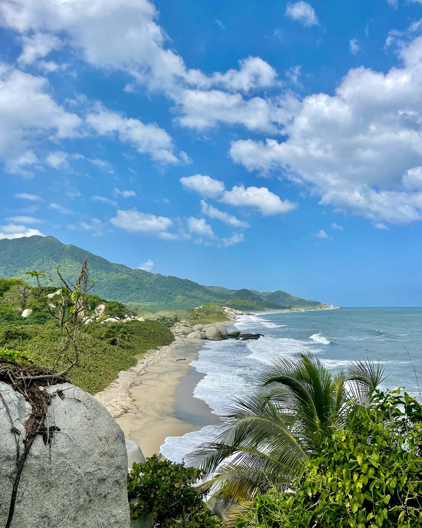
The Tairona civilization engineered over 250 stone settlements across these coastal mountains long before Spanish ships arrived. They built extensive networks of paved paths, terraced agricultural fields, and circular ceremonial plazas directly into the steep jungle terrain. These ancient engineers manipulated water flow to prevent erosion during the brutal rainy seasons. Their stone foundations still grip the mountainsides, hidden beneath centuries of root growth and soil accumulation.
Spanish colonization decimated the local populations through disease and warfare in the 16th century. The colonizers forced the surviving Tairona people into the Encomienda system, demanding tribute and brutal physical labor. Indigenous groups staged multiple revolts against Spanish rule, eventually retreating higher into the Sierra Nevada mountains to escape the violence. The jungle swallowed the abandoned stone cities, hiding them under thick canopies of vines and roots for centuries.
The Colombian government declared the region a protected park in 1964. Between 1968 and 1970, the national environmental agency, Inderena, executed a massive eviction campaign. They cleared out more than 200 peasant families who had settled in the area to farm and fish. The 191st Law of the Colombian Institute for Agrarian Reform (INCORA) officially established the park's legal boundaries in 1969. This legislation aimed to protect the endangered ecosystems and the unexcavated archaeological sites scattered throughout the forest.
Tourism infrastructure developed slowly over the next three decades. Early visitors camped on wild beaches with zero facilities, relying entirely on local fishermen for transport and food. The construction of the El Zaíno entrance road eventually formalized access, bringing thousands of backpackers to the region by the late 1990s. The influx of tourists created severe waste management problems. Single-use plastics choked the trails, and untreated sewage threatened the coral reefs.
Park authorities implemented strict conservation measures to combat the environmental degradation. They banned plastic bags, alcohol, and drones. Security guards now search every backpack at the entrance gates, confiscating prohibited items on the spot. The park also closes completely for 45 days each year. These closures happen in three specific windows: February 1–15, June 1–15, and October 19–November 2. Indigenous communities use these periods to perform spiritual cleansing rituals, while the local wildlife reclaims the empty beaches and hiking trails.
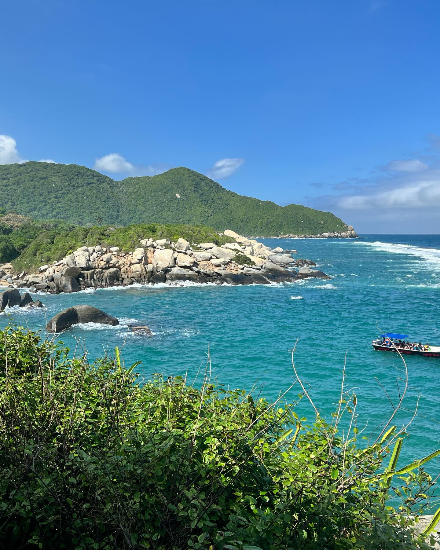
The physical landscape shifts violently from sea level to 900 meters in elevation within a few kilometers. The Sierra Nevada de Santa Marta represents the highest coastal mountain range on Earth. Its foothills plunge straight down into the Caribbean Sea, forming a series of scalloped bays separated by rocky headlands. Massive granite boulders, some the size of two-story houses, litter the shoreline at Playa Arrecifes. These smooth, rounded rocks absorb the constant pounding of ocean swells.
Dense dry tropical forest covers the lower elevations near the coast. The canopy blocks out most direct sunlight, trapping heat and moisture close to the ground. Hikers on the Nine Stones (Nueve Piedras) trail navigate through thick underbrush, stepping over columns of leaf-cutter ants and dodging low-hanging vines. The air smells of decaying leaves and salt spray. Higher up the slopes, the vegetation transitions into cloud forest, where temperatures drop and mist clings to the tree branches.
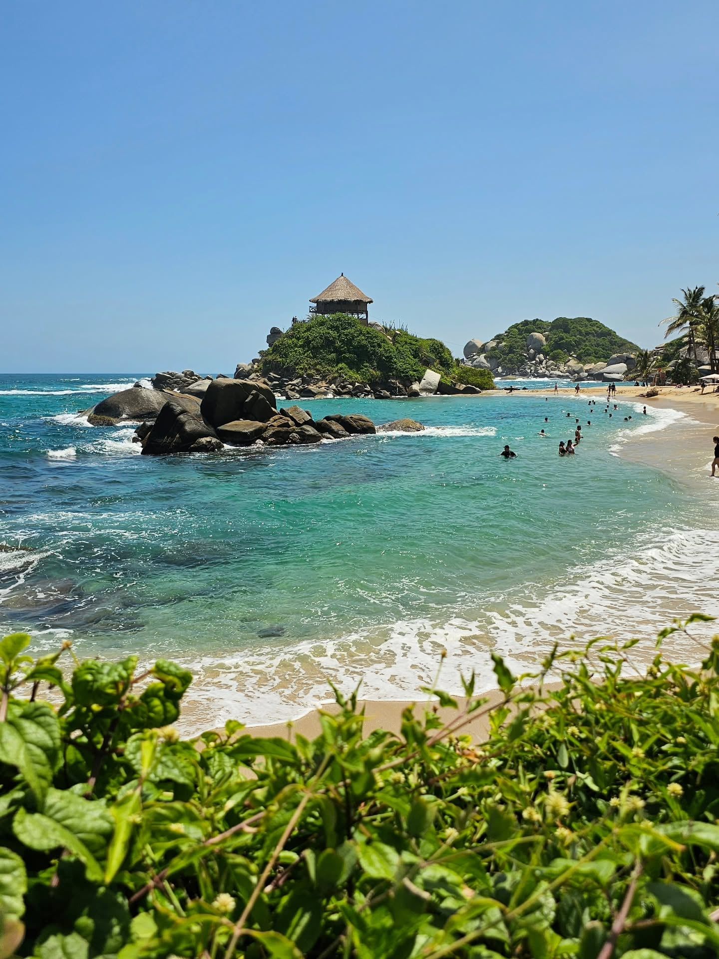
Cabo San Juan del Guía stands as the most recognized geographical feature in the park. A rocky hill juts out into the ocean, splitting two curved beaches. A wooden lookout hut sits perched on top of this rock, exposing sleepers to high winds and dropping temperatures at night. To reach this point, hikers must survive the aggressive mosquitoes that swarm the dense jungle sections. High-strength insect repellent and long pants provide the only defense against bites that carry tropical diseases.
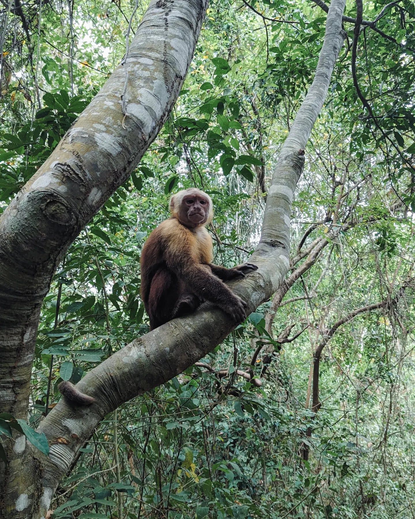
Wildlife dominates the canopy and the forest floor. Over 105 mammal species live within the park boundaries, including howler monkeys, jaguars, and three-toed sloths. The aggressive roar of howler monkeys echoes across the campsites at dawn, sounding more like a mechanical engine than an animal. At least 300 bird species navigate the dense foliage, while more than 70 types of bats emerge at dusk to hunt insects.
Freshwater rivers cut through the jungle and empty into the sea. The Piedras River meets the ocean near the Cañaveral sector, creating a brackish estuary environment. Wild caimans inhabit the stagnant freshwater lagoons behind Playa Arrecifes. These reptiles blend perfectly with the muddy banks and floating logs. Signs warn tourists to stay at least ten meters away from the water's edge.
The marine ecosystem features extensive coral reefs and algal beds. Sedimentary seabeds provide feeding grounds for sea turtles. The open ocean route from Taganga to Cabo San Juan exposes boats to punishing three-meter swells. Passengers sit on hard wooden benches for an hour, gripping the rails as the fiberglass hull slams into the troughs of the waves. Saltwater sprays over the bow, soaking everyone and everything not sealed in heavy-duty plastic bags.
Four indigenous communities—the Kogui, Arhuaco, Wiwa, and Kankuamo—consider Tayrona a sacred ancestral territory. They trace their lineage directly back to the ancient Tairona civilization. These groups view the Sierra Nevada de Santa Marta as the heart of the world. The park's boundaries contain a network of sacred sites connected by an invisible spiritual boundary known as the "Black Line" (Línea Negra). This line represents a complex system of ecological and spiritual management that predates modern conservation laws by centuries.
The indigenous populations act as the "Elder Brothers" of humanity. They believe their spiritual practices maintain the ecological balance of the entire planet. When tourists leave trash on the beaches or damage the coral reefs, the Elder Brothers view this as a direct assault on the earth's spiritual health. The mandatory park closures in February, June, and October allow these communities to perform essential payment rituals (pagamentos) to the earth without interruption from foreigners. These rituals involve offering specific materials to sacred sites to restore harmony.
The Chairama Archaeological Museum at Cañaveral displays the physical remnants of this deep history. The permanent exhibit houses pre-Hispanic pottery, stone tools, and gold ornaments recovered from the jungle. These artifacts prove the existence of a highly organized society capable of complex engineering and metallurgy long before European contact. The museum provides context before hikers step onto the ancient stone paths that still crisscross the mountainsides.
Visitors must follow strict behavioral codes when encountering indigenous people on the trails. Taking photographs of community members without explicit, prior authorization violates local laws and deep-seated cultural norms. The indigenous families living inside the park wear traditional white cotton clothing and carry woven mochilas (bags). They walk the same stone paths their ancestors built, maintaining a continuous physical and spiritual presence on the land for over a millennium. Respecting their privacy ensures continued access to these shared spaces.
Freshwater lagoons behind Playa Arrecifes house wild caimans that blend into the muddy banks.
The park shuts down completely for 45 days a year to allow indigenous spiritual cleansing rituals.
The aggressive dawn calls of resident howler monkeys sound more like mechanical engines than animals.
Granite boulders the size of two-story houses line the shore at Playa Arrecifes to absorb ocean swells.
Visitors can rent hammocks perched in a wooden lookout hut directly over the ocean at Cabo San Juan.
Security guards search all bags at the entrance to confiscate single-use plastics and alcohol.
The terrain shifts violently from sea level to 900 meters within just a few kilometers of the coast.
The park closes three times a year for indigenous spiritual cleaning and environmental recovery. These scheduled closures occur from February 1 to 15, June 1 to 15, and October 19 to November 2.
Every visitor must purchase a daily health insurance policy at the entrance ticket booth. The cost ranges between COP $5,000 and COP $8,000 per day.
No. Swimming is strictly prohibited at many beaches, including Playa Arrecifes, due to deadly rip currents. Visitors should only swim in designated safe zones like La Piscina and Cabo San Juan.
The hike from the Cañaveral trailhead to Cabo San Juan takes approximately two hours each way, covering about 7 kilometers. The trail involves steep wooden stairs, mud, and exposed tree roots.
Visitors can pay COP $5,000 to ride a shuttle van from the El Zaíno ticket booth to the actual trailhead at Cañaveral. This 10-minute ride saves over an hour of walking along a paved road.
Foreign non-residents pay an entrance fee of COP $73,500 to COP $81,000 during the low season. During the high season, the price increases to COP $87,000 to COP $96,500.
No. Park authorities strictly prohibit alcohol, drugs, and single-use plastic bags to protect the local wildlife. Guards frequently search backpacks at the entrance gates to confiscate these items.
Visitors are officially required to show proof of a Yellow Fever vaccination to enter the park. You should carry your physical vaccine card or a digital copy on your phone.
Buses depart every 20 minutes from the Santa Marta Public Market directly to the main El Zaíno entrance. The 34-kilometer journey takes about 90 minutes and costs up to COP $10,000.
There are no ATMs anywhere inside the park boundaries or at the entrance gates. You must bring enough physical Colombian Pesos to cover insurance, food, transport, and accommodation.
Browse verified tours with free cancellation and instant confirmation.
Find Tours